 Well, this is it. Day 7. The bittersweet final ride in a week of what we hope has been full of experiences you’ll be talking about for years to come. Soak it all in and savor every pedal stroke because after today, it’s back to reality.
Today’s ride starts out on Highway 126, and much like sportcoats in the 80’s, it has nice wide shoulders. You’ll pass through McKenzie Bridge (the community) and the Forest Service’s McKenzie Bridge Ranger Station before turning onto Highway 242 at around mile 8.
Up until now, the road will have been pretty flat. Once on the Old McKenzie Highway, we start gaining altitude. This climb is pretty much up and up, followed by a little more up, until we reach the summit of the Cascades at Dee Wright Observatory. If you look closely during the switchbacks, there is one spot where you can look down and see at least 3 switchbacks just below. This climb is a gentle incline at 5-6% and you’ve laughed in the face of much tougher hills already this week, so it shouldn’t be overly-difficult. And once you reach the top, have a little rest and a snack and take in the view–you’ve earned it.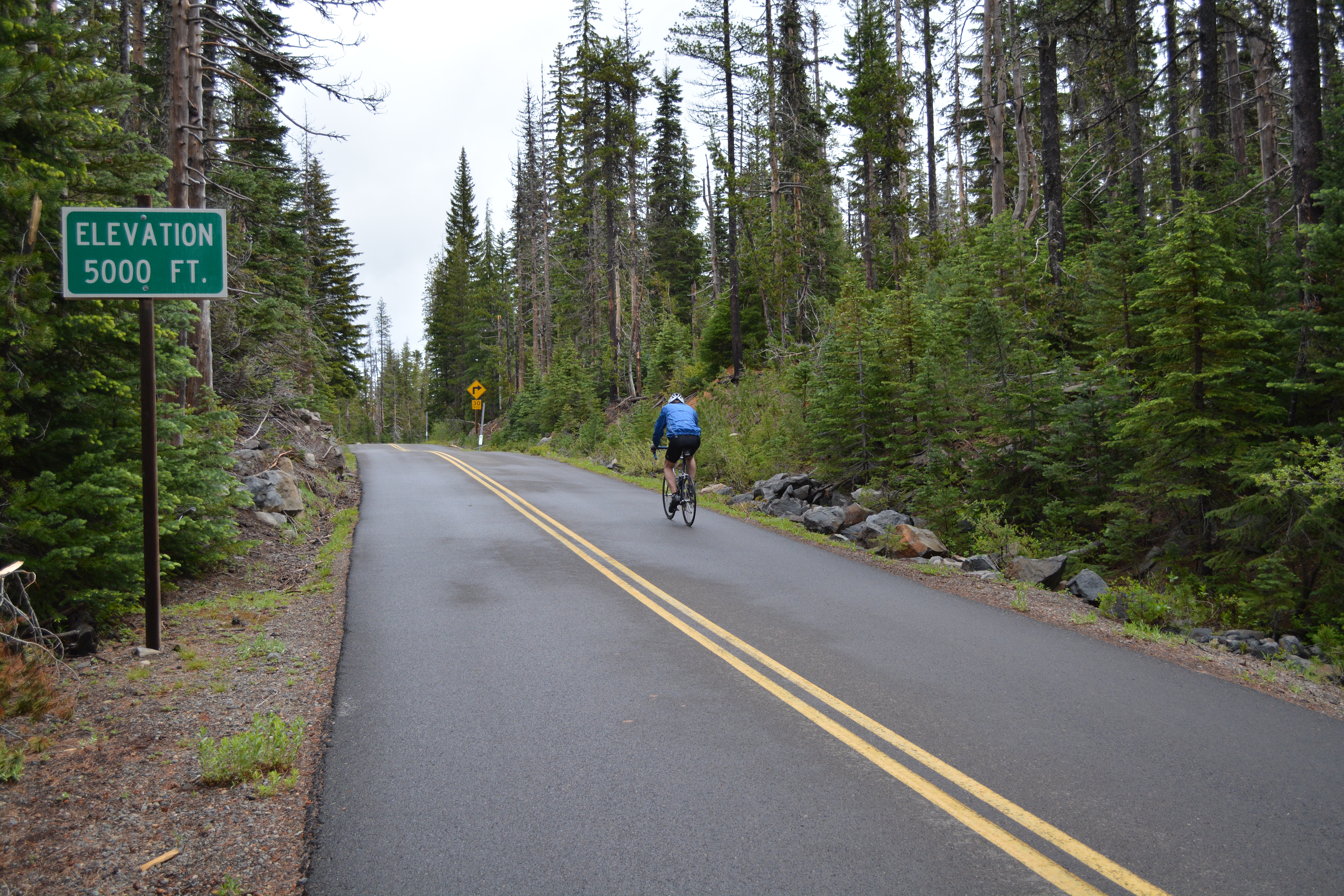
Speaking of the view, from up here you can see lava flows and obsidian on both sides of the road as well as spectacular views of the Three Sisters. Riders will also experience a unique phenomenon near the summit where they travel through 3 counties in the space of one mile.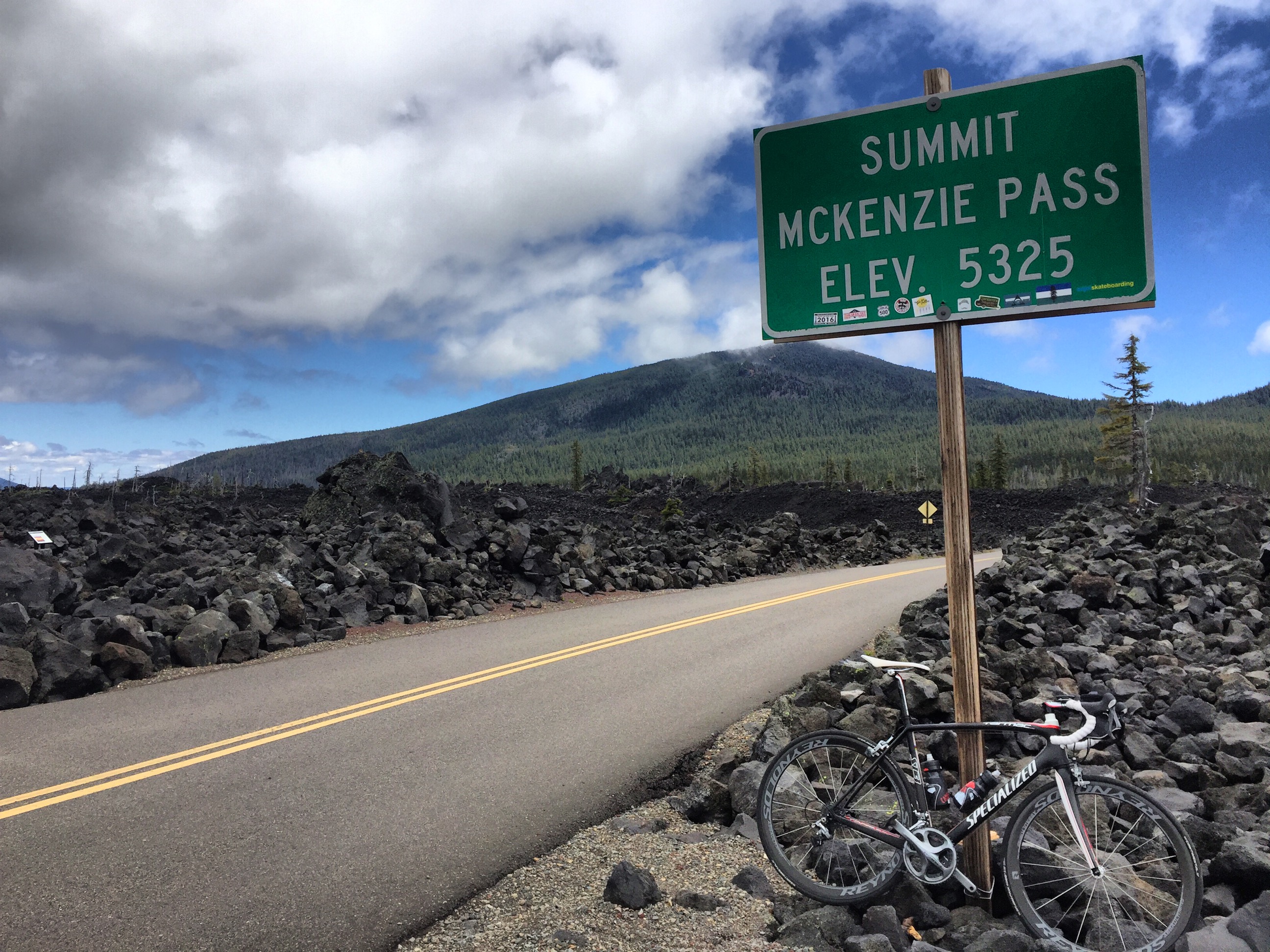
Between the summit and Sisters, there are 15 switchback-free miles of downhill. There are a few sharp corners and rough road to keep an eye out for, but besides that it can be a really fun, speedy descent.
At mile 33, you’ll arrive at Windy Point Viewpoint. If the weather is not cooperating, this area can be a little, well, windy. If you’re prone to getting chilly, this would be a good place to add another layer.
Lunch will be served in a shady city park in the community of Sisters. From Sisters, it’s only 22.4 miles to the finish in Tumalo. Most of this stretch is generally flat and car-free. We’ll be riding country roads with very little traffic, with the exception of a couple of brief segments on Highway 20 and Highway 126.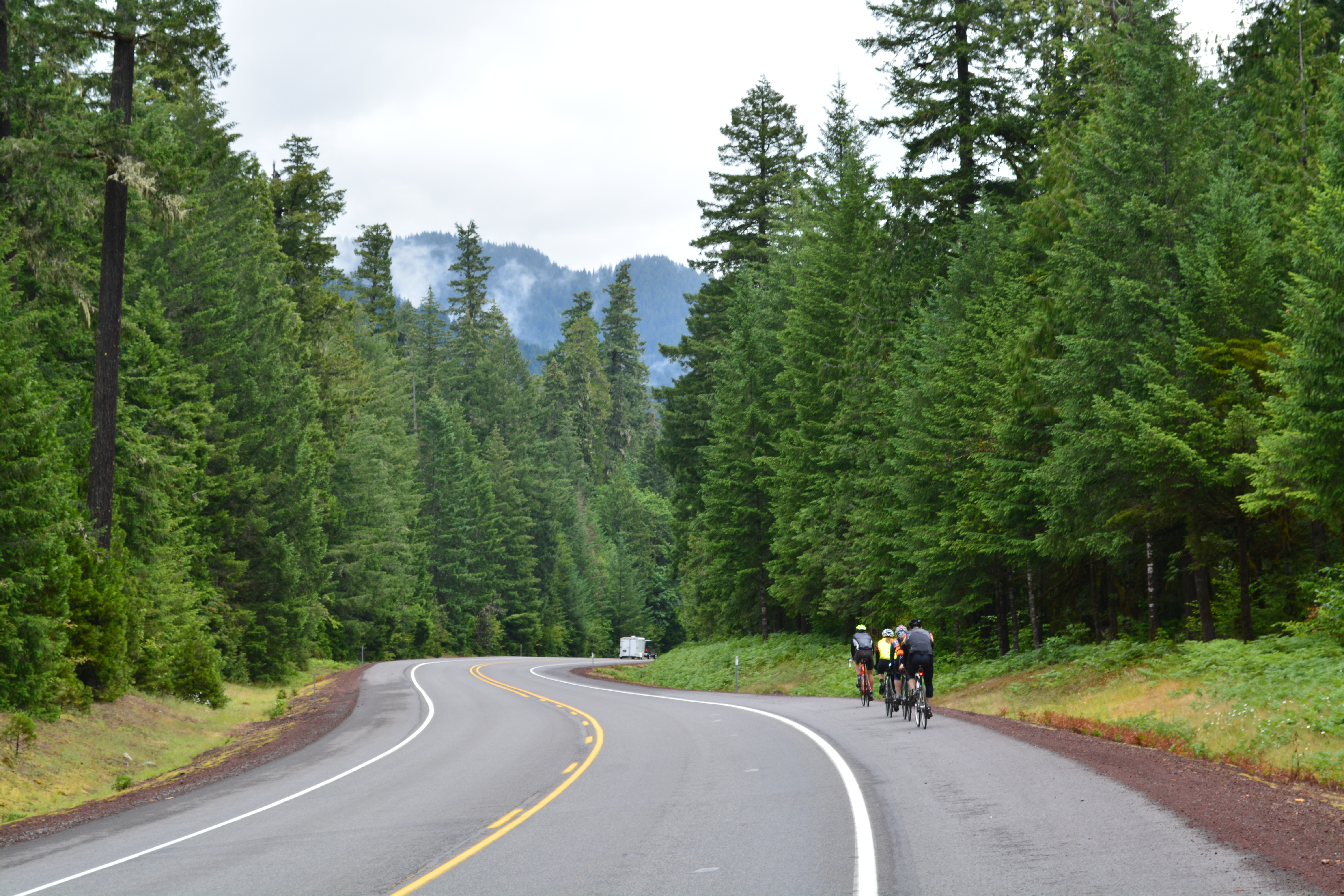
Arriving back at Tumalo, you will have thus completed a most epic loop–consisting of mountains, wild rivers, ancient volcanos, deep blue lakes and cascading waterfalls. You will have sweated, camped and traded tails with 2,000 of your new closest friends. You will have pedaled 430 miles, and climbed 24,186 feet. And you will have created memories to last a lifetime and helped transform lives and communities with every pedal stroke.
If I have “tradeed tails” with 2000 new friends, please don’t tell my wife.
GPX files? PDF Maps? I can’t find them in the newsletter, website, blogs, emails, ….
I’m sure they’re somewhere.
Exciting read! This phenomenon near the summit where you travel through 3 counties in the space of one mile seem amazing! Thanks for sharing!
Thanks for sharing the exciting article.
cover so much distance on cycle,amazing
Great Article and those pics are fabulous!
It’s really awesome to getting chance to wonderful nature when cycling. That’s why love cycling too much & try to go cycling on weekend. Great article.
I also love cycling when I get time to explore myself. Actually its been 8 years I don’t get time to do something extraordinaire for me. Your article is inspiring me more to do such things again.
Very Informative. Thank you.