Wallowa County
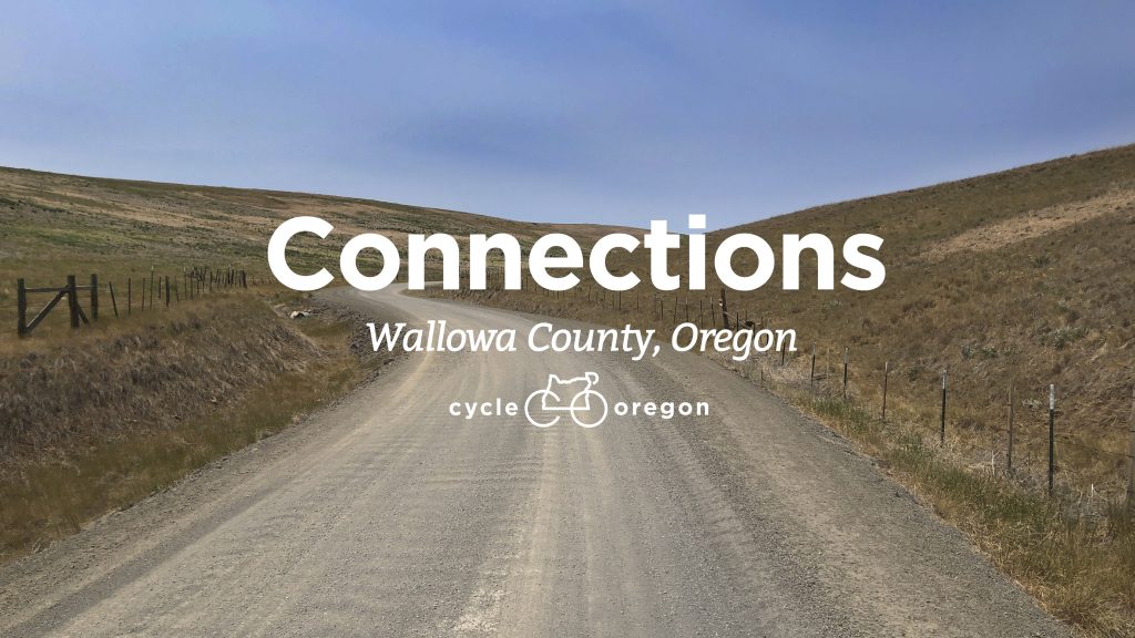
Discover the freewheeling openness and diverse history of the Zumwalt Prairie & Alder Slope by bicycle!
Cycle Oregon Connections highlights the diversity of the Oregon experience as shared by local communities. In association with the Nez Perce Wallowa Homeland and Maxville Heritage Interpretive Center, our Wallowa County Connections features rides for paved and gravel cycling with an emphasis on the inclusive history and businesses of the region.
Connections - Interactive Map
Use the tabs under the map to select/deselect options and click on individual routes to see a preview of route details. Click through to see the route in full detail or scroll below to find more information on each route prior to your selection. If you organize and share your routes with Ride With GPS Collections we have these routes grouped into a Collection here.

Routes
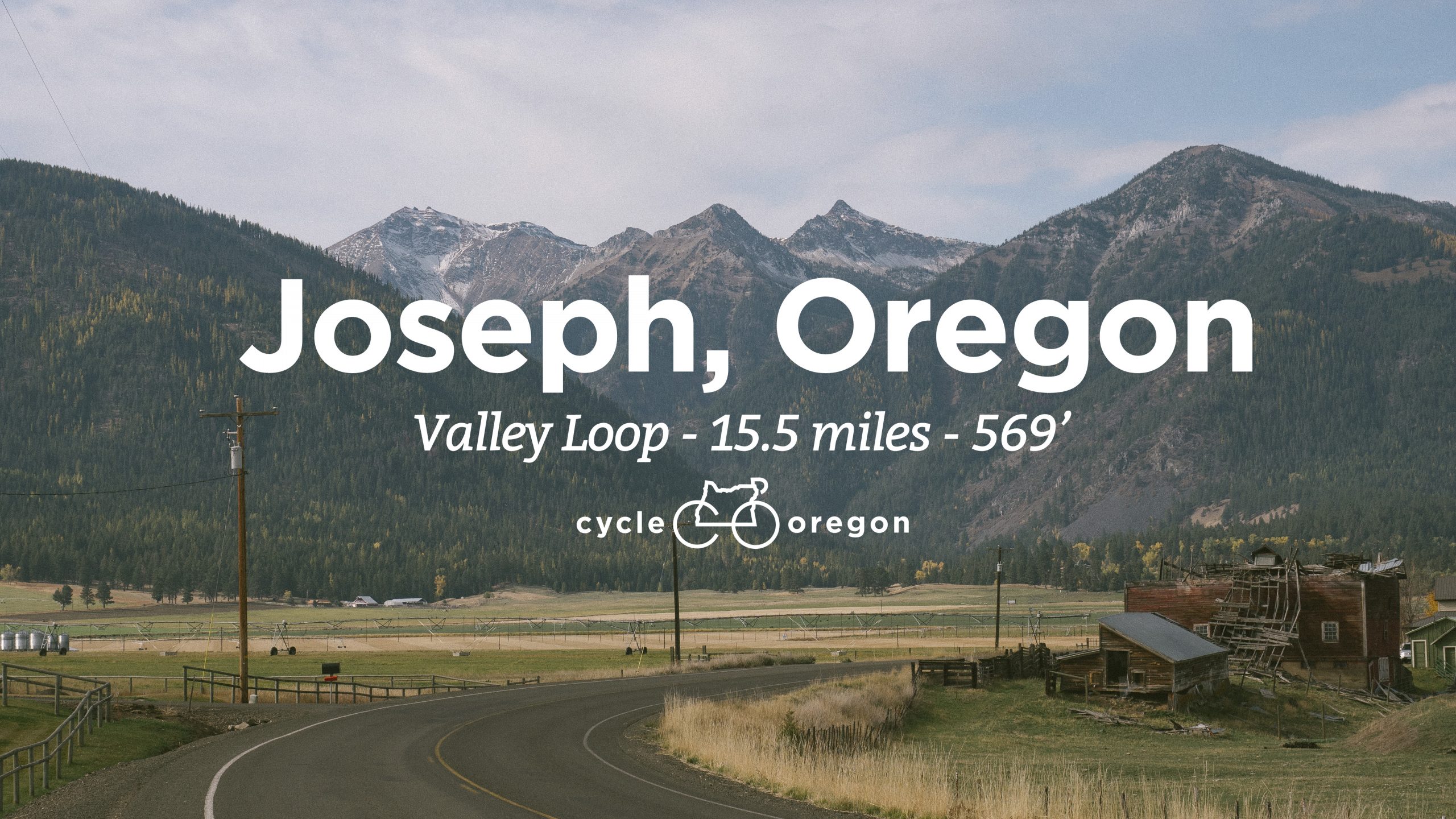
This is an entirely paved route great for road bikes but suited for any type of bicycle or handcycle. The route is easy to navigate with minimal elevation gain and lots to see along the way. Our route begins and ends at the Maxville Heritage Interpretive Center where we encourage you to visit and discover the rich history, contributions and impact of Black Americans in Wallowa County.
Full route, photos and local points of interest here
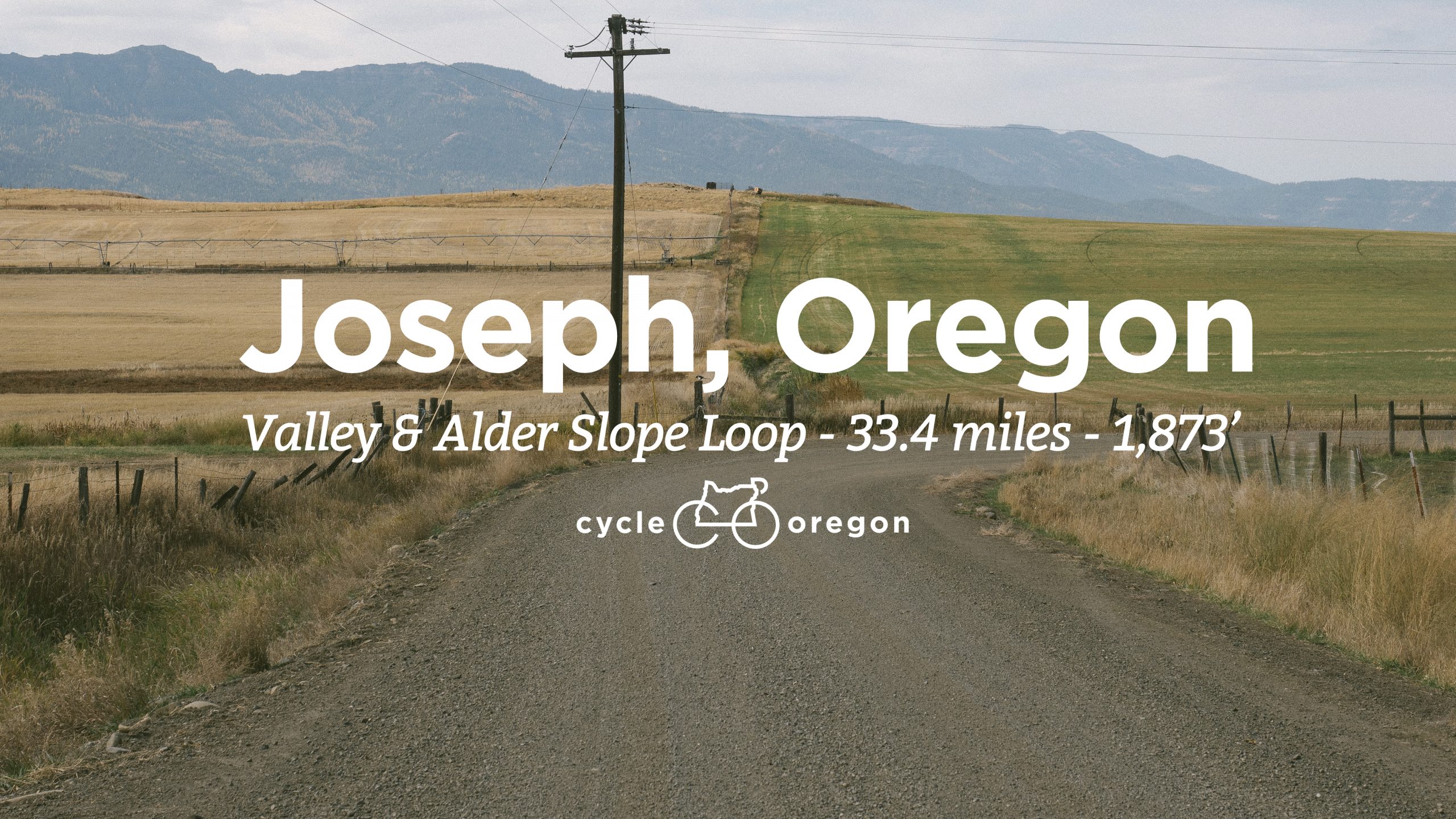
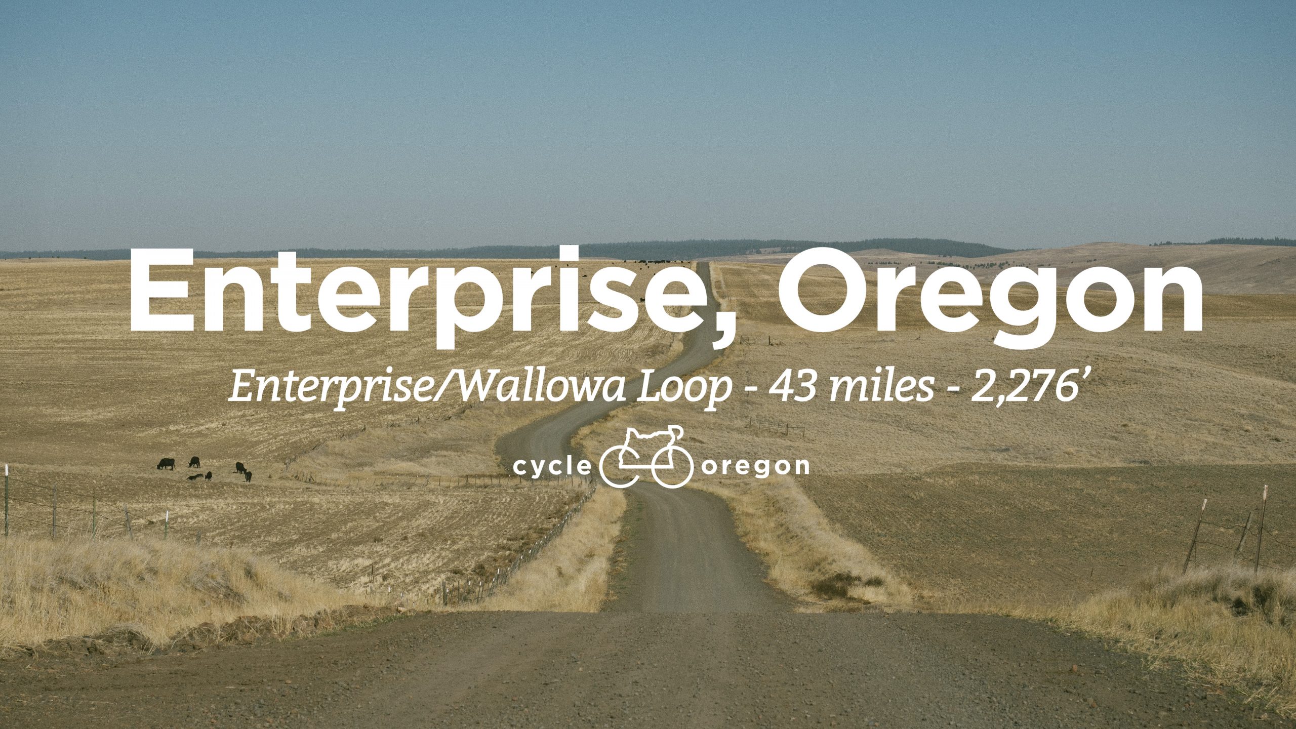
This is a mixed-terrain route with several challenging gravel sections but well worth the effort for the unparalleled views. If you love photographing beautiful barns with the Wallowas as a backdrop this ride might just take you all darn day! (Or maybe all barn day…) Our Connections loop takes you from the Maxville Heritage Interpretive Center (MHIC) in downtown Joseph, Oregon and you’ll see as far as Idaho and the Seven Devils range, marking the eastern edge of the lands of the walwáama band of Nez Perce (the people of walawa). Rolling mostly flat to downhill for most of the first ⅔ of the route you’ll pedal across the colorful Zumwalt Prairie and tackle most of the route’s climbing across the Alder Slope, an important and bountiful area within the Nez Perce Wallowa homelands.
Full route, photos and local points of interest here
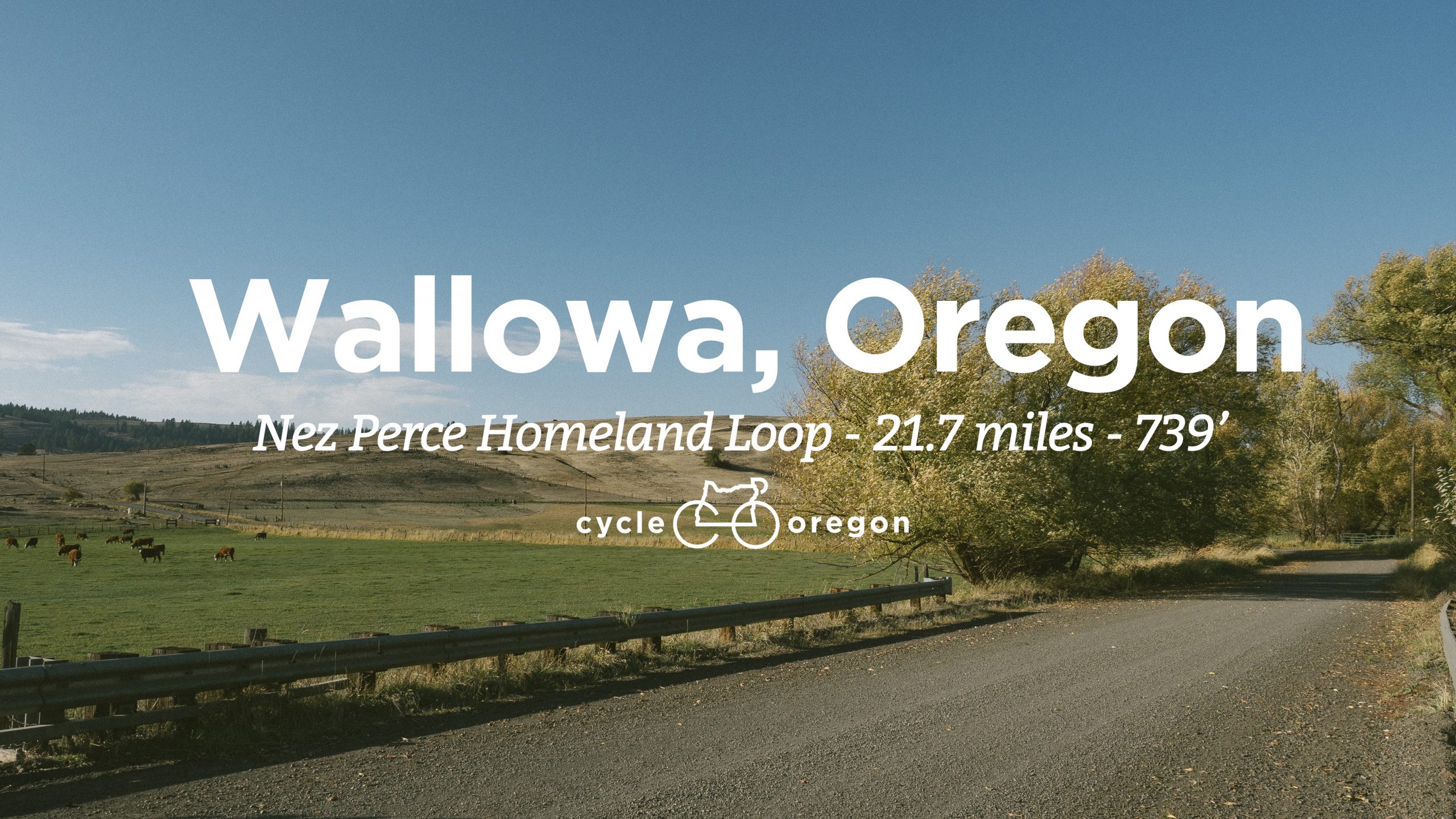
This mixed-terrain route just might offer its most impressive view right at Mile 1 but keep going, it’s lovely for the remaining twenty. Our start and finish is the Nez Perce Homeland Visitor Center. You will be greeted with Lilóoynin’ ‘éetx páaycix (Glad you’re here) and learn about how the walwaáma (people of wallowa) lived and moved throughout the region you’ve ridden. Cycle Oregon is grateful to this community for their enthusiasm to share the stories of the land they encourage us to ride through today. You’ll also find several Maxville historical locations along this relatively flat route.
Full route, photos and local points of interest here
A challenging yet scenic route that is well over half gravel riding and stretches from bronze foundries on the outskirts of Enterprise and across the Zumwalt Prairie to the Nez Perce Homeland in Wallowa, Oregon. From here, the route returns along the Wallowa River and then Lostine River before entry into a secluded valley traversed by Wade Gulch Road. This challenging section loosely follows an ancient Nez Perce trail connecting the high and low valleys. This is an inspiring route with historical connection to the Nez Perce and Maxville communities along with breathtaking views of wildlife, the Wallowa Mountains, and spectacular mixed-terrain riding.
Full route, photos and local points of interest here
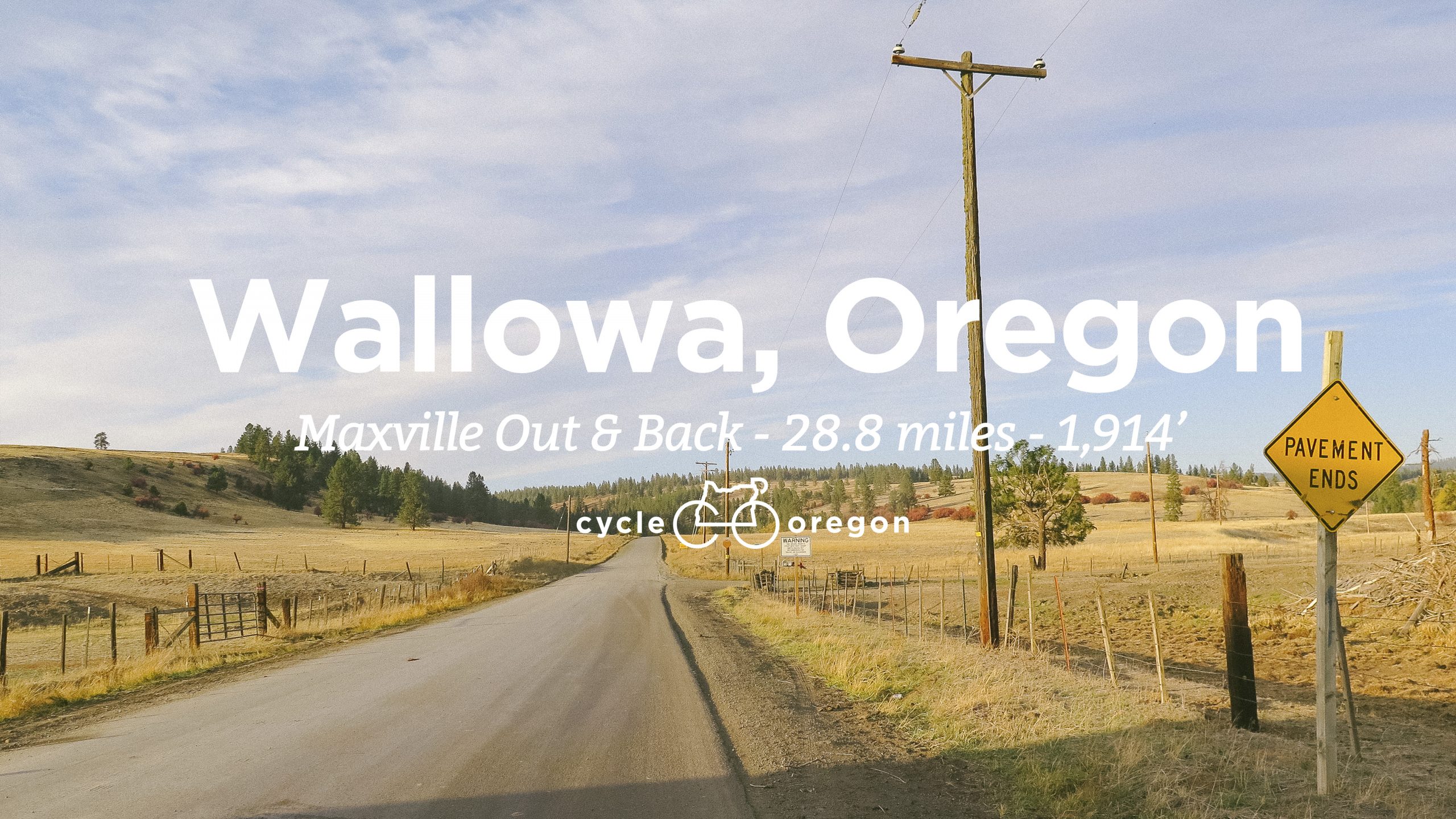
This mostly gravel route climbs up Promise Road to the former location of the once bustling logging community and is intended for experienced cyclists. The out-and-back route begins from the site of Lion’s Park in Wallowa, where Maxville’s Black loggers lived following the closure of the town in 1934. Ride the route on its own or add on to one of the Connections routes passing through Wallowa. Be sure to visit the Maxville Heritage Interpretive Center in Joseph to learn more about the many cultures who called this region home 100 years ago.
Full route, photos and local points of interest here
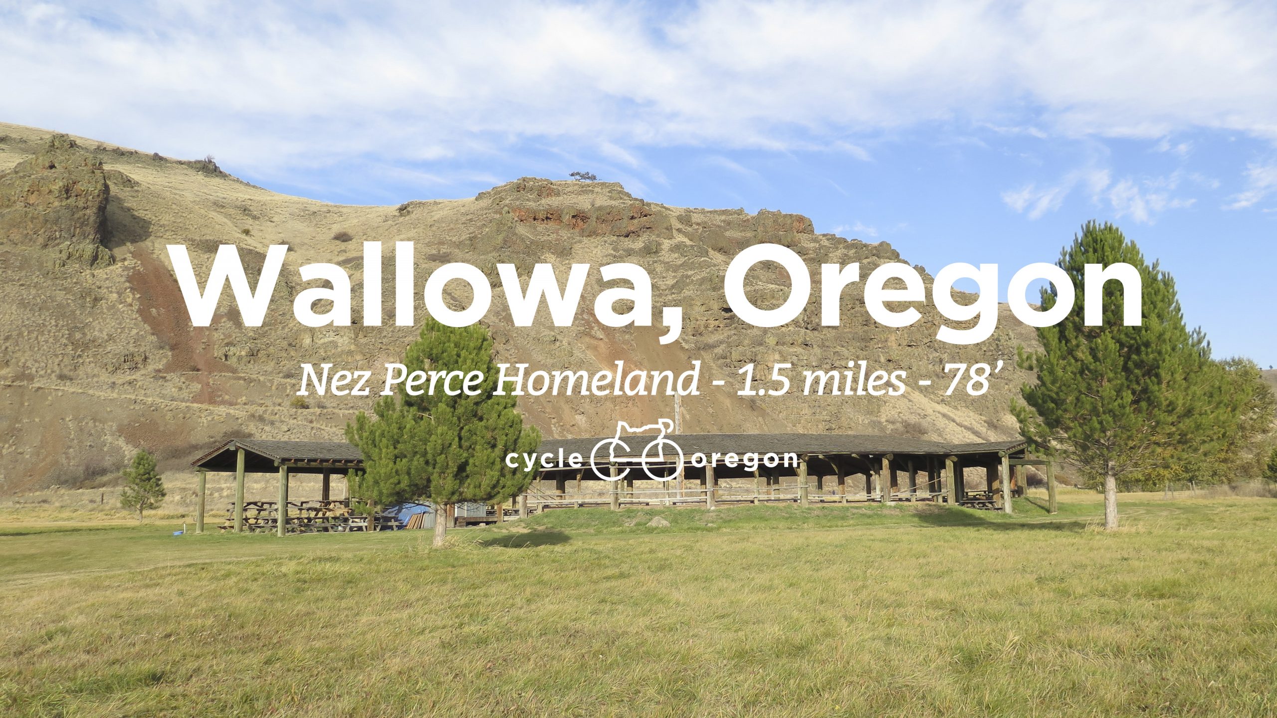
Open from sunrise to sunset every day of the year, the Nez Perce Wallowa Homeland is a 320-acre open space featuring a tribal Longhouse and Dance Arbor. This 1.5 mile loop is featured in two of our Connections routes but can be added to any ride or simply ridden on its own allowing time to pause and reflect. Hiking trails lead up the exposed basalt and across the ridge for an unparalleled view of the valley back towards Enterprise and Joseph. From the summit you will understand the Nez Perce name Tamkaliks meaning “From where you can see the mountains”.
Full route, photos and local points of interest here
Thank you Travel Oregon, Ride With GPS, Wallowa Chamber of Commerce, Wallowa Mountains Bicycle Club and Reid Creatives for your enthusiasm and assistance in developing this project. Let’s ride!