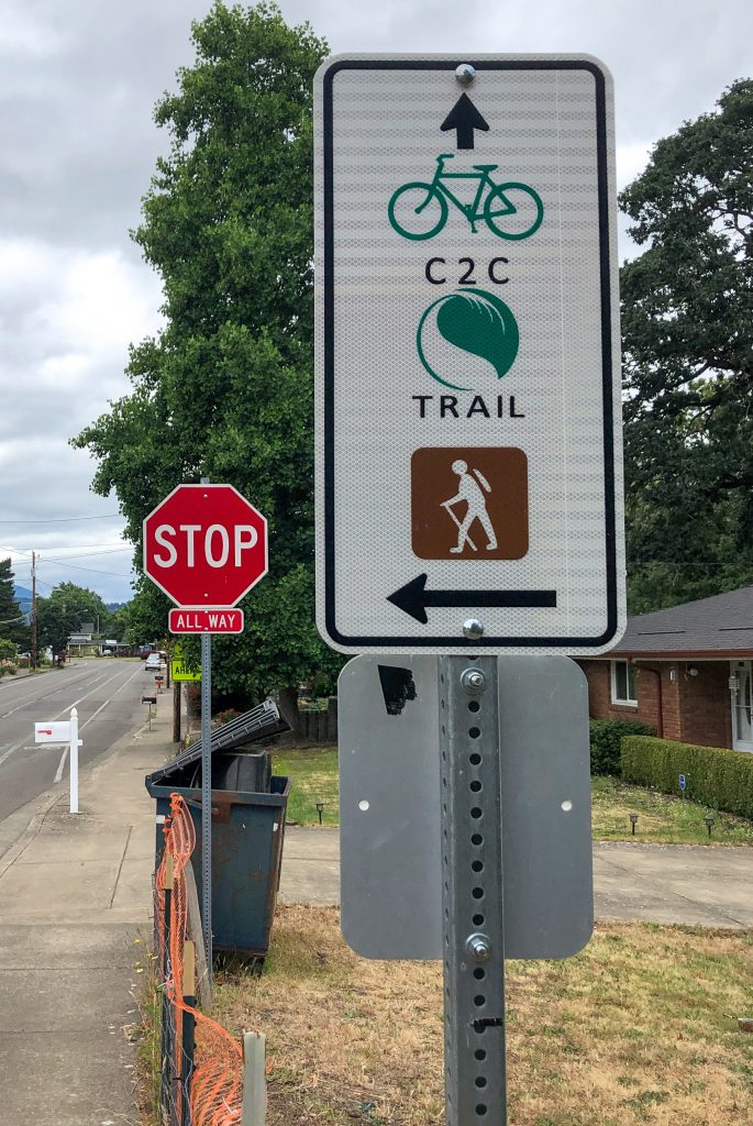
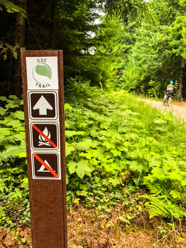
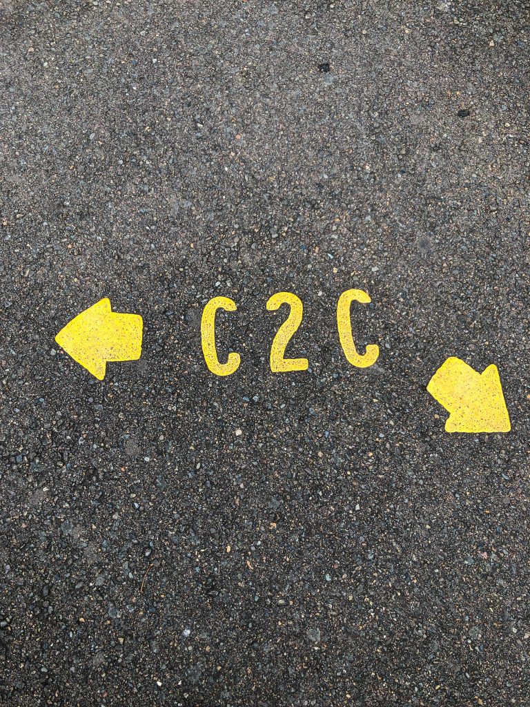
The Corvallis to the Sea Trail was set to officially open June 6, 2020 but the grand opening has been postponed pending a last-minute re-route near the coast. Nevertheless, the eastern half of the C2C is signed and ready; we recommend checking it out. We rode a portion of the trail over the long holiday weekend guided by the friendly folks from Peak Sports in Corvallis.
For route map & details click here to visit Ride With GPS segment from our amazing ride guide Rheannon from Peak Sports
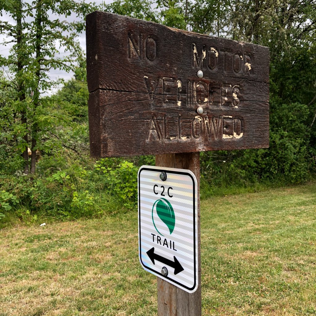
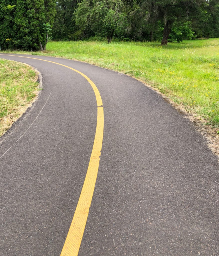
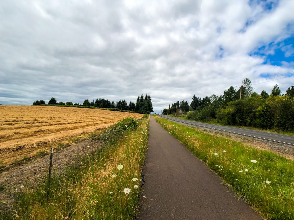
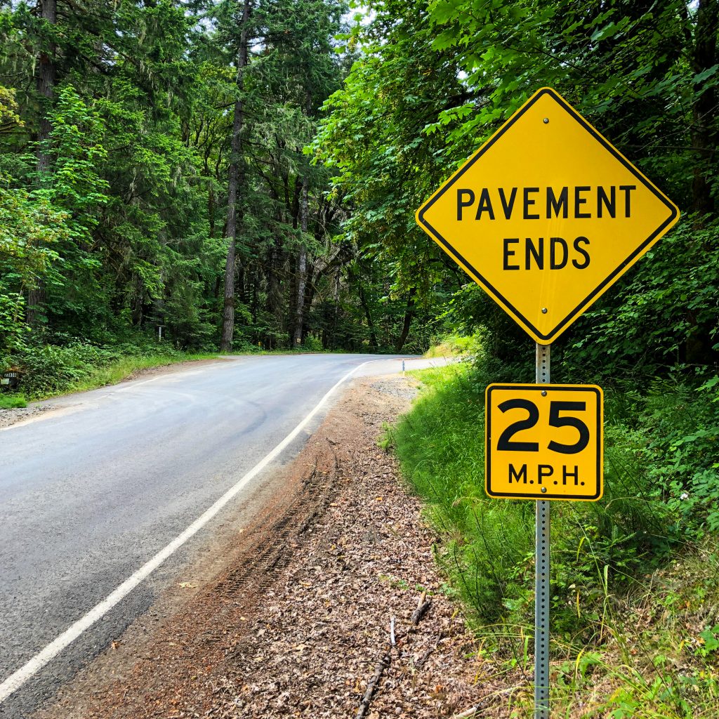
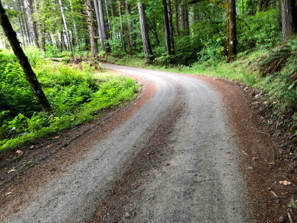
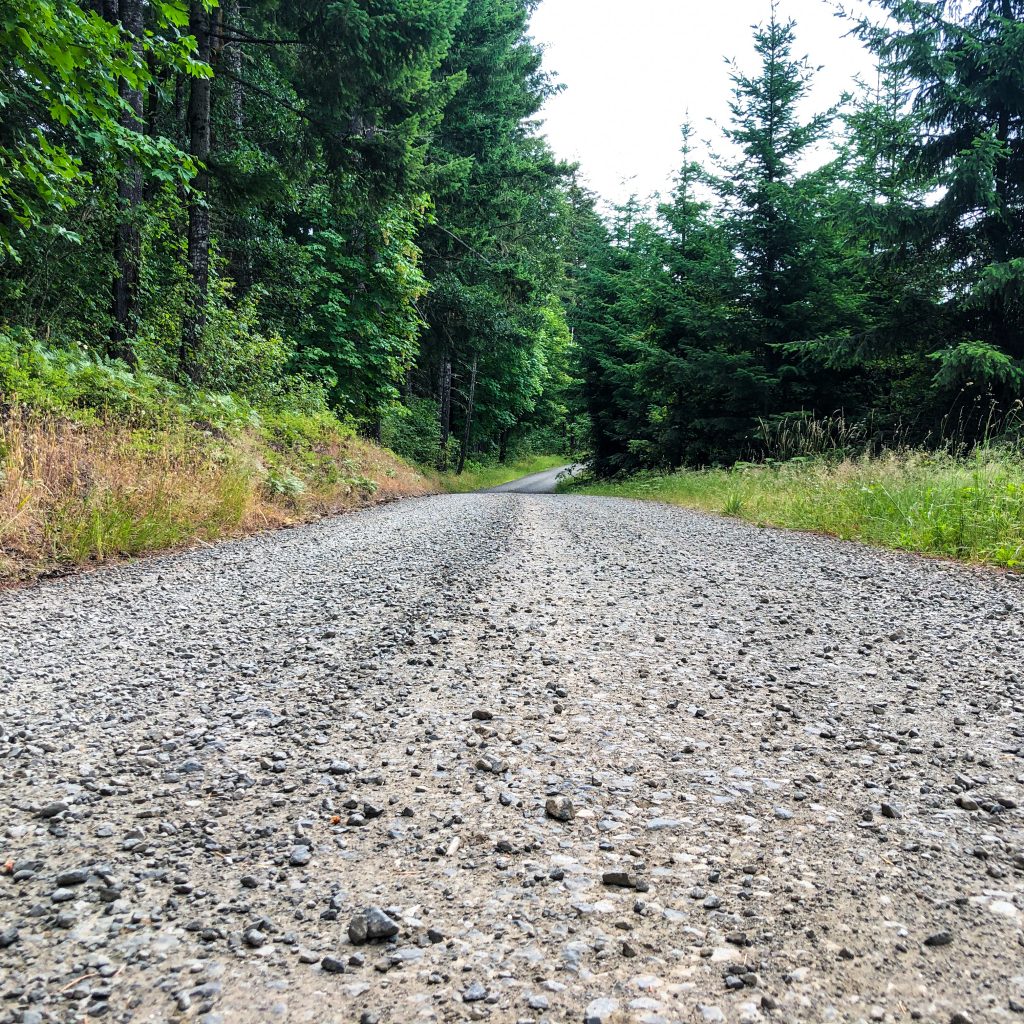
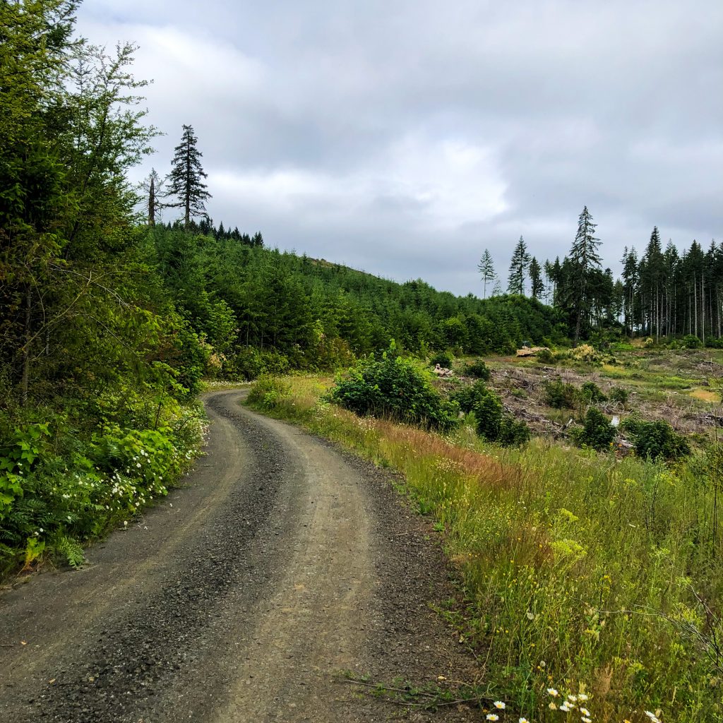
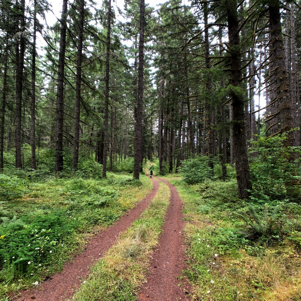
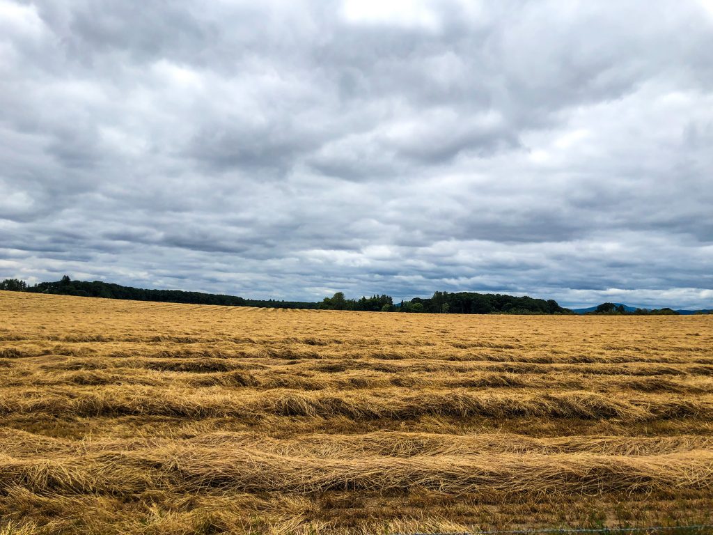
The C2C, about 50 miles from downtown Corvallis to the Pacific Ocean, is a mixture of county and private roads connected to multi-use paths and forest trails with public access for hikers, equestrians, and cyclists. If you’ve got a gravel bike, the eastern portion will reveal every capability of your machine. (While the roads trails are well-maintained we would recommend at least 38c tires for the deeper sections of this trail.)
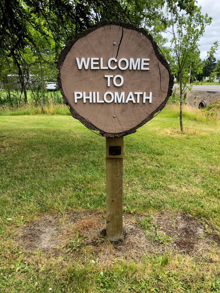
Starting along the riverfront in Corvallis the C2C follows a clearly signed path that meanders 7 miles out of town to Philomath. From here, a short section of bike lane on city roads gives way to fantastic country roads that climb towards a transition to great gravel and forest double track.
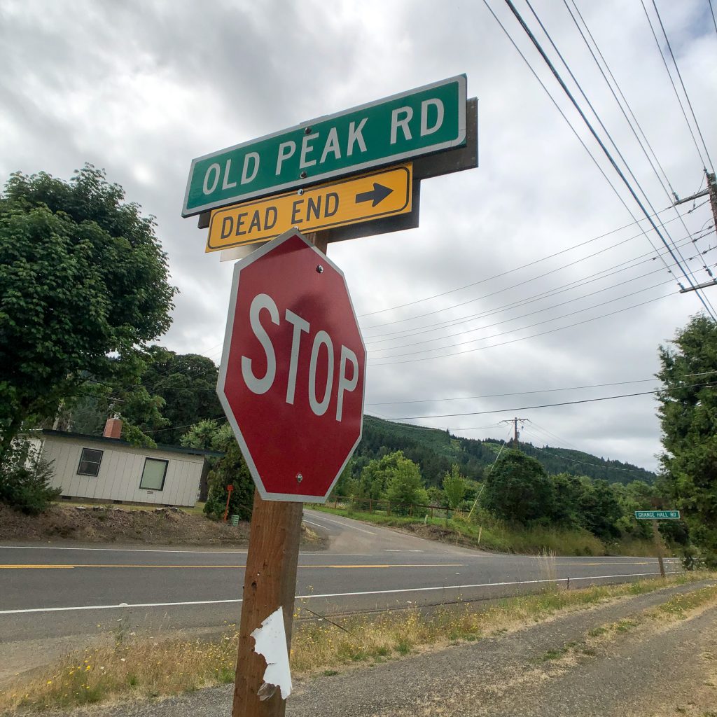
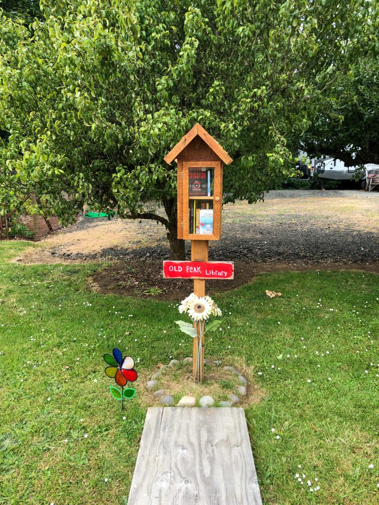
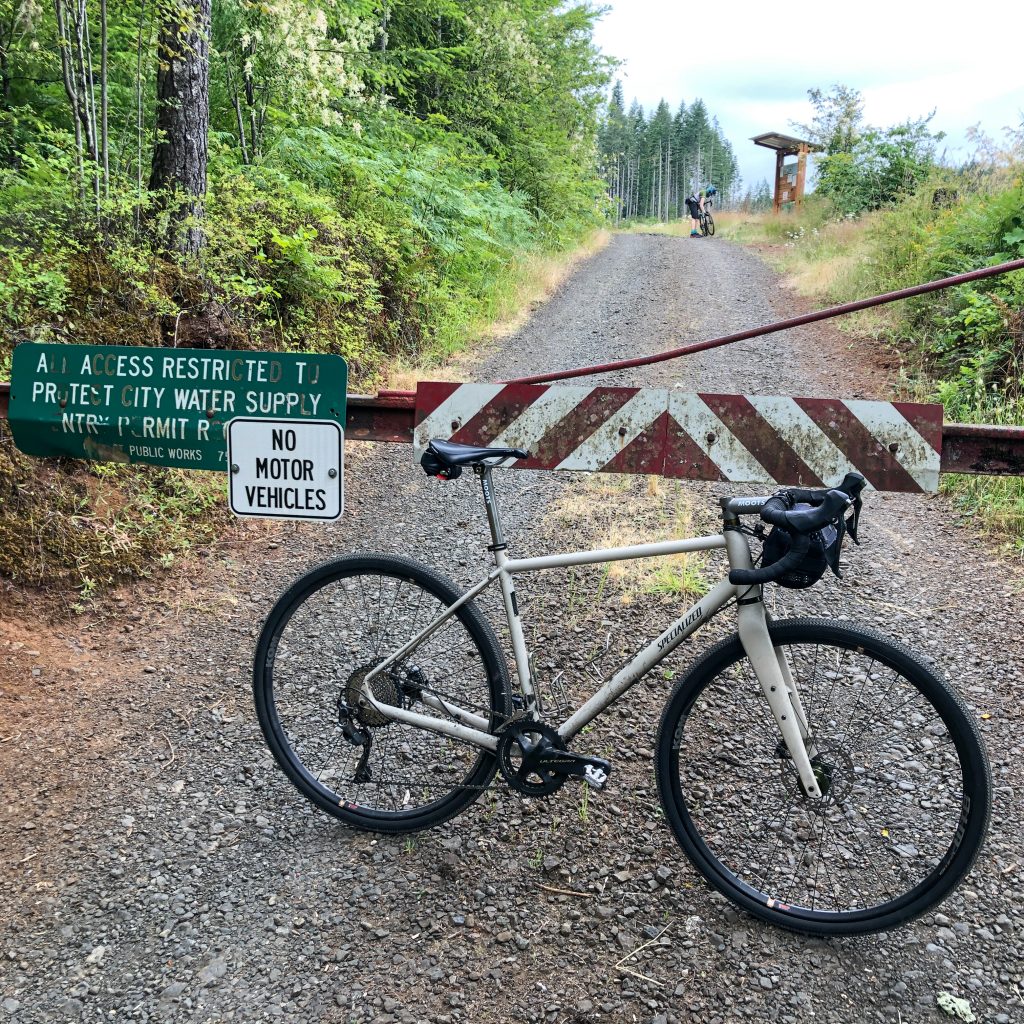
Starker Forests requires a permit to pass through the 4-mile gated section of Old Peak Road but it’s an easy and friendly phone call to acquire. Everyone involved in this project seems to have boundless enthusiasm for the trail and a commitment to the community overall. To obtain an Entry and Land Use Permit from Starker Forests, click here.
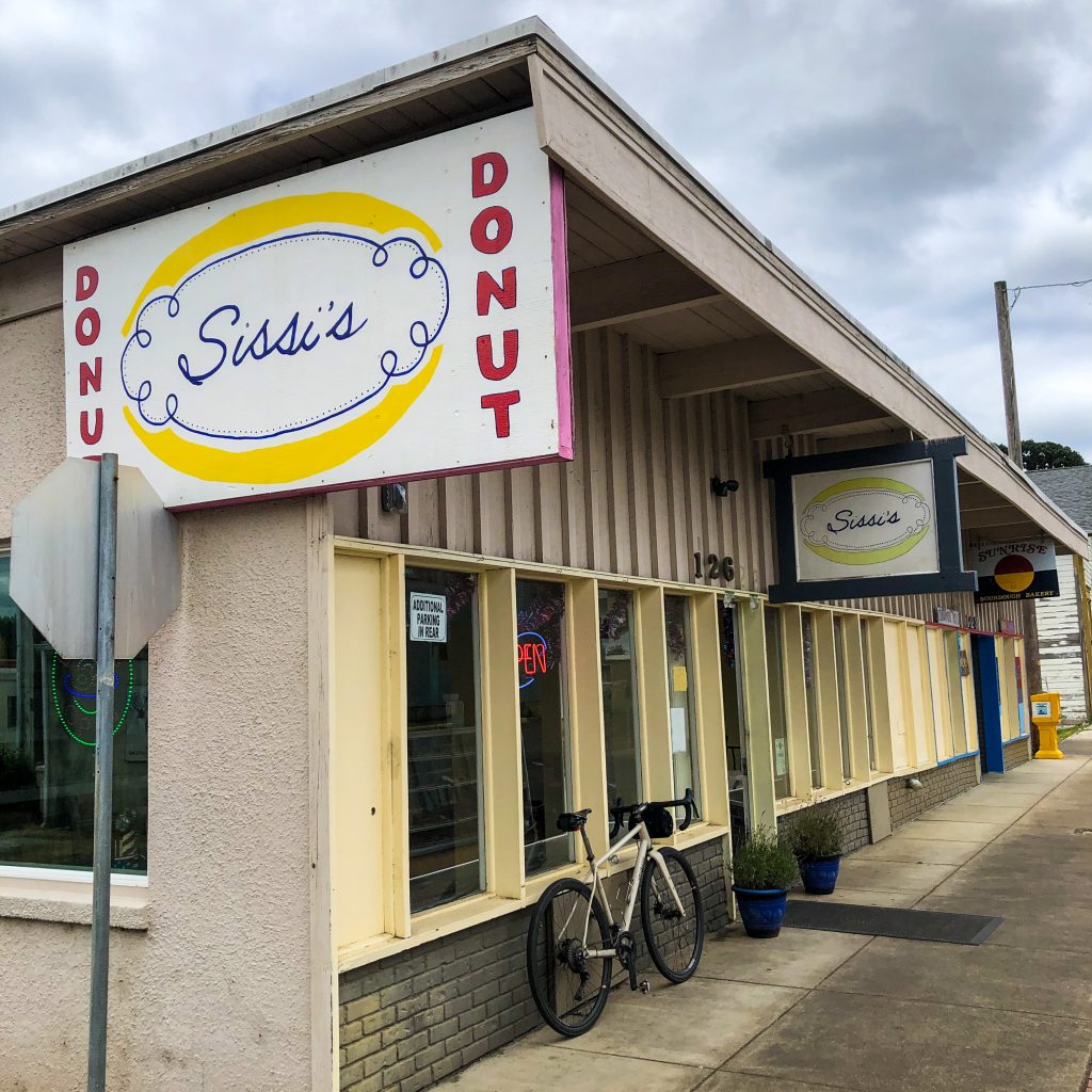
This is a lovely out and back route and we’ll be back for a longer look, no doubt. (Even if just for the donuts in Philomath!). Peak Sports in Corvallis has all the details on the route, trail work parties, best places to eat and drink, and upcoming events. Stay tuned for more ride reports from the C2C!
Is the trail to Big Elk Campground marked?
Yes, the C2C trail is marked to Big Elk campground. There is water there along with biker/hiker camping. As of this comment (3/4/21) there are reports of lots of trees down along the route and some sections are closed due to mud. If you plan on rolling out there soon we’d advise checking in with the folks at Peak Sports Corvallis for the most up-to-date local knowledge.
Many thanks. Good to know.
Do you know what the elevation gain is for this route?
Hello, Niki, by most accounts the C2C route has an elevation gain of around 7.500′. The official website (http://www.c2ctrail.org/) has details and maps though we’d also highly recommend checking in with the folks at Peak Sports Corvallis for the latest trail information. They’ll also know the best farm stands and snack stops, too!
I called Peak sports yesterday. They said the route to the coast is not complete. They mentioned the shop manager had created a map of roads and trails to the coast but it wasn’t officially opened, but you could get this map from them if I wanted to try to find my way.