Tualatin Valley Scenic Bikeway

LENGTH 50 Miles | DIFFICULTY Moderate | 100% Paved
Nearby cities: Portland, Banks, Vernonia
View on Ride with GPS | Map & Cue Sheet
Oregon’s Tualatin Valley Scenic Bikeway captures the best of the northern Willamette Valley including friendly downtowns, fertile farmlands, lush natural areas and the Banks-Vernonia State Trail.
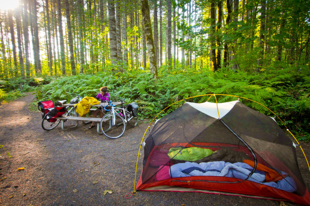

The Tualatin Valley Scenic Bike provides cyclists pleasing views of the Coast Range, farms, vineyards and natural areas near quaint downtowns, while the smell of fresh-cut hay or flutter of waterfowl engages other senses. The valley’s mild weather offers cycling opportunities on Bikeway through most of the year; however, rain gear may be useful in winter.
The route starts at Rood Bridge Park in Hillsboro and follows county roads past farm produce stands, farmers’ markets and a winery to Forest Grove. The route continues through the unincorporated communities of Verboort and Roy, and on to the trailhead for the Banks-Vernonia State Trail in Banks.
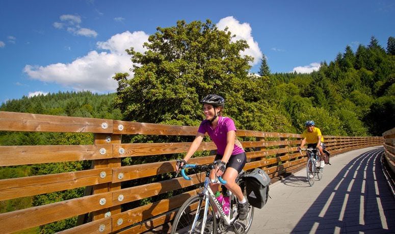
From Banks, the Bikeway follows the Banks-Vernonia State Trail on an abandoned railroad bed for 20 miles past Stub Stewart State Park on a climb that summits at an elevation of 964 feet before gliding down to Anderson Park in Vernonia. Riders who do not wish to ride the entire Banks-Vernonia State Trail can park at one of the following trailheads:
More Resources
The Tualatin Valley Scenic Bikeway does include the 20-mile Banks-Vernonia State Trail that provides a paved, family-friendly off-road experience with two steep sections where the route crosses the highway.
Information about road conditions from Oregon Department of Transportation’s TripCheck.