McKenzie Pass Scenic Bikeway

LENGTH 38 Miles | DIFFICULTY Extreme | 100% Paved
Nearby cities: Sisters, Belknap Springs
View on Ride with GPS | Map & Cue Sheet
The McKenzie Pass Scenic Bikeway is a challenging ride, but possible to do over and back in one day. There are also lovely campgrounds on either side of the route — perfect for a great night out under the stars. The vast majority of the route is on Oregon Route 242 which is closed during winter months. However, bicyclists are able to start using the route in the spring as the snow melts – providing miles of traffic-free road riding as the snow melts. The route typically opens to motor vehicle traffic in mid-June.
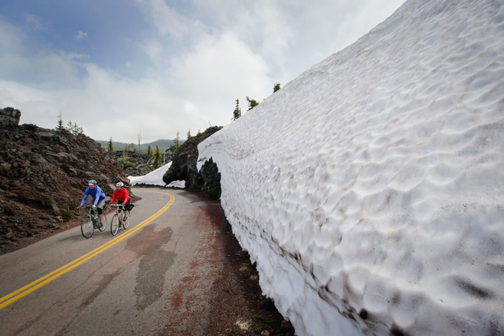

Every year, the treasured scenic route of McKenzie Pass, OR 242, is seasonally closed from November to mid-June. The earliest possible opening day each year is the third Monday in June, when the highway opens to everyone. We do not open the road early for hikers or bikers before it is open to vehicles, it is either closed or open to all. Signs are posted and gates are locked when the road is closed.
When closed, the road is not maintained. Weather conditions, logistics and cost make it impractical to maintain for travel year around. This is a beautiful location and everyone appreciates it. We open the road when we can ensure it is clear and safe for travel.
People who choose to bypass locked gates and closed signs to access the road when it’s closed do so at their own risk. Here are some examples of reasons why it’s dangerous to be on the road when it’s closed:
- Even after the snow has melted in the spring, our maintenance crews are plowing, paving, felling trees, and doing other work with heavy equipment. There are no flaggers. It can be difficult to hear equipment in different areas due to snow and trees. Pre-season maintenance work can occur on any day of the week.
- Agency vehicles supporting winter operations (ODOT, USFS).
- There are no services nor is there cell service.
- The weather changes quickly and can vary dramatically.
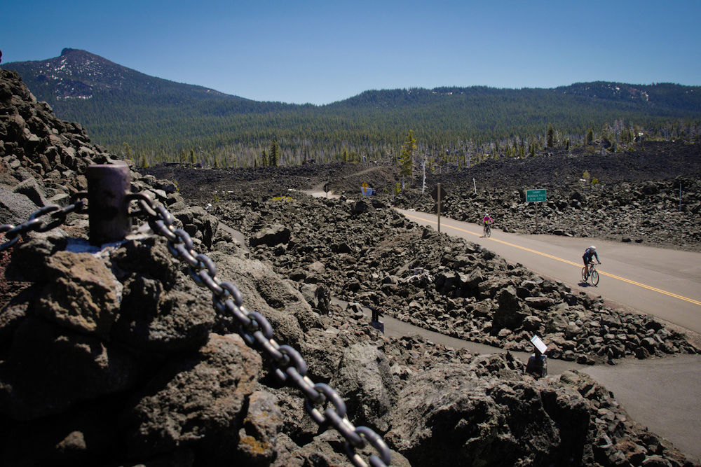
The route begins at the Village Green Park in the center of Sisters and heads west past hay meadows, ascending 2,000 feet through ponderosa pine forests. The road follows an 1860s wagon route. After 8.8 miles, the route passes the East Snow Gate that restricts motor vehicle traffic during the winter and spring. Emerging from the forest at Windy Point and a 2,000-year-old lava flow the route offers a moonscape of lava for another 3.5 miles to the summit.
The Dee Wright Observatory sits at the top of 5,325-foot high McKenzie Pass offering a spectacular view on the Cascade Mountains and an opportunity to hike through the jagged lava flows that dominate the landscape.
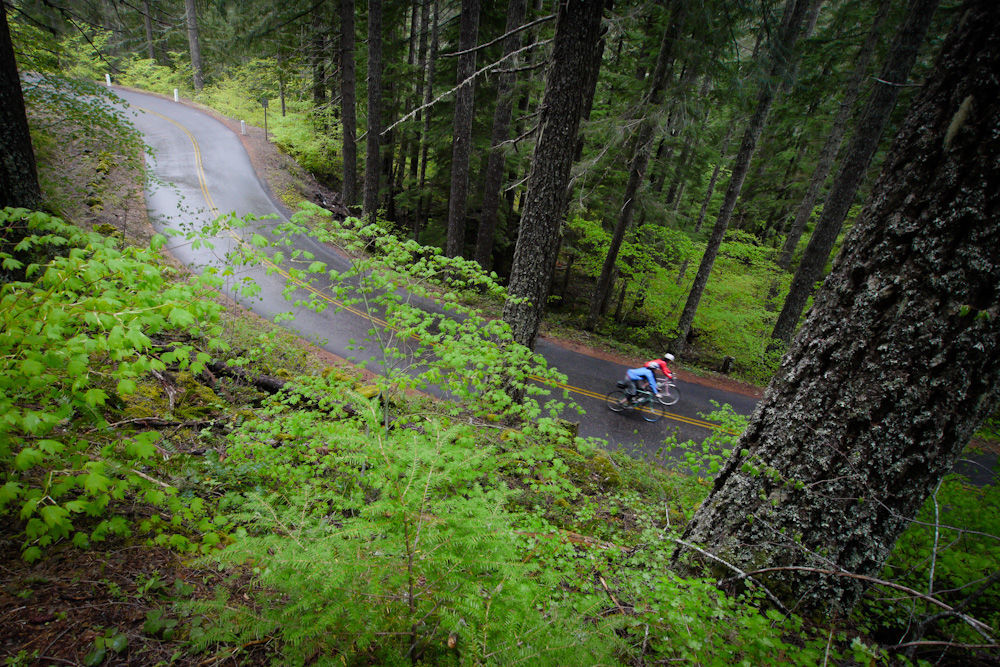
The 20-mile westside descent snakes down exhilarating switchbacks to the dense, verdant Cascadian forests and rushes out over the McKenzie River. The trailhead to Proxy Falls allows a short hike to the falls. It’s these dramatic transitions through such diverse natural environments that define the uniqueness of this Bikeway.
The end of the route, or the turn-around point for one-day riders is at Belknap Hot Springs on the banks of the McKenzie River.
More Resources
There are multiple US Forest Service campgrounds along the route including:
- Cold Springs
- Lava Lake
- Scott Lake
- Alder Springs
- Limberlost
Information about road conditions from Oregon Department of Transportation’s TripCheck.
The McKenzie State Scenic Bikeway is closed due to snow each winter.