Cascading Rivers Scenic Bikeway
LENGTH 71 Miles | DIFFICULTY Challenging | 100% Paved
Nearby cities: Detroit, Estacada
View on Ride with GPS | Map & Cue Sheet
Follow the course of two wild rivers through ancient forests on an up-and-over adventure.
The route can be ridden south from Estacada or north from Detroit.
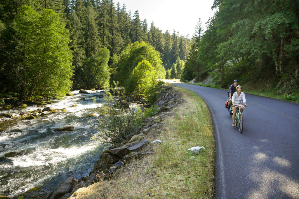


The Cascading Rivers Scenic Bikeway follows the winding Breitenbush and Clackamas Rivers in a 70-mile route between Detroit and Estacada. All along this route, water and rock interact to create a place of dramatic beauty and inspiration. Cyclists may experience glimpses of elk or a fluttering grouse or rest along the route to a symphony of forest songbirds.
The bikeway parallels the Brietenbush and Clackamas Rivers along rocky riffles, quiet pools and reservoirs. Experienced riders who seek a challenge will be most attracted to this 72-mile route of forested splendor that starts with a 17-mile, 1,985-foot climb out of Detroit cresting at an elevation of 3,583 feet. The remainder of the route is a long 3,125 foot descent ending with a cruise past historic Faraday Dam into Estacada.The Estacada Station Cycling Plaza offers a number of amenities at the end of the route.
A shorter, family-friendly ride starting just south of Estacada to Faraday Dam and back is available.
More Resources
There are multiple developed and undeveloped locations to camp along the route including Forest Service the following US Forest Service campgrounds:
- Humbug
- Breitenbush
- Riverford
- Ripplebrook
- Roaring River
- Lockaby
- Lazy Bend
Information about road conditions from Oregon Department of Transportation’s TripCheck.